Hardware + software · 2026
Radar velocity meter — non-contact flow measurement for open channels
A non-contact surface-velocity radar for open channels and natural rivers: 4-degree beam, ±1 mm accuracy target, IP68, vibration damping and tilt compensation. Design intent was established by reverse engineering; no prototype has been built.
The situation
Measuring flow in an open channel or a natural river normally means putting an instrument in the water or on a cableway above it. Sediment, debris, and flood conditions make that expensive, occasionally dangerous, and sometimes impossible — the moments when a measurement matters most are the moments when a contact instrument cannot be deployed.
A radar mounted above the channel measures surface velocity without touching the water. That moves the engineering problem from hydraulics to installation geometry, power and housing, which is a much more tractable problem for a small instrument.
Our entry into this product class was reverse engineering: between May and July 2025 we worked through a reference unit with a good field reputation (SOMMER RG-30) to establish the design intent and the implementation approach behind it.
The call we made
In this product class the dominant error is geometric, not electronic. The instrument hangs on a bracket over water, on a pole that vibrates and shifts with load and weather. If the beam moves, the measurement changes, and no amount of signal processing recovers a number that was taken at the wrong angle. So the engineering effort went into vibration damping and tilt self-adaptation — the instrument compensates for mounting-point vibration and sensor position change — rather than into a better algorithm. That judgement is what decides whether the measurement is usable after a year outdoors.
Reject interference at the antenna, not in software. A 4-degree beam angle limits how much of the scene the instrument sees beyond the water surface: banks, vegetation, structures. Antenna-level selectivity is cheaper, more stable and more durable than filtering afterwards, and it is what makes a compact instrument usable in narrow channels and low-clearance locations such as urban manholes.
Multi-target tracking with static-clutter rejection. Water surface returns are weak and mixed with fixed reflectors. Tracking multiple moving targets and filtering stationary ones is what keeps the reading stable when debris passes, which in flood conditions is most of the time.
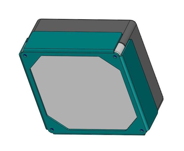
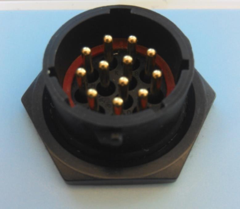
Reverse engineering starts at the interfaces. Before any electronics work: the 16-pin aviation connector pin definition, the fastening torque, the sealing structure, and the cable routing and fixing from cable end to host. Those are the constraints any compatible replacement inherits, and documenting them early is what turns a research exercise into a design input. Understanding the principle is the interesting part; understanding the interface is the part that lets you build something that fits.
State the ownership boundary before the specification. This hardware capability is held jointly by our core team and long-term technical partners. It is a cooperative capability, not a proprietary product line, and hardware specifications and delivery dates are not committed under our own name. We put that first, because in hardware it changes what a customer is actually buying — and finding out later is worse.
What we built
- Reverse-engineering package — principle and signal flow, interface pin definitions, fastening torque, sealing structure, cable routing and fixing, all recorded as design input.
- Product definition — 4-degree beam, a measurement area sized for low-clearance sites, ±1 mm accuracy target, IP68 with lightning and explosion protection, vibration damping and tilt adaptation, multi-target tracking with interference rejection.
- Application definition — channels and canals replacing manual cableway measurement, reservoirs and sluice stations for inflow and dispatch, urban manholes for pipeline velocity and silt judgement, hydrological stations during flood peaks where high water and floating debris make contact measurement impractical.
Status, stated precisely: the design intent and implementation approach are established. A prototype has not been built. Building one requires target specifications, test conditions and budget to be agreed first — it is a project, not a catalogue item.
Result
What exists today is the design package and the technical understanding needed to produce a compatible instrument, plus a clear separation of which constraints are inherited from the reference design and which are free choices for a new one. That is genuinely useful to a customer deciding whether to support a fleet of instruments whose original supply has become uncertain.
What does not exist is a prototype, field data, or a price. We would rather say that than put a specification table in front of a buyer as though a product were already behind it.
Technology
| Stack | Radar front end · Doppler processing · Tilt compensation · Embedded control · IP68 enclosure |
|---|---|
| Delivery model | Cooperative capability: design package and reverse-engineering result |
| Client | Water conservancy sector |
| Status | MVP / pilot |
What we cannot show
Hardware capability held jointly with long-term technical partners: cooperative, not a proprietary product line. No prototype of this instrument exists yet, and nothing here is a production specification or a delivery commitment.
Similar problem?
If this looks like something you are dealing with — a legacy system that must keep running, a workflow no product covers, an integration nobody wants to touch — send a short description. We will tell you honestly whether we are the right team, and what the first two weeks would look like.